CSA1 - TRAIL PLANNING EFFORTS
We all love to get outside and play, right?
The Community Service Area 1 (CSA1), out of Crowley, is spearheading efforts to bring more opportunities to play on trails!
Finding balance between recreation and sustainability stewarding our landscape is a fine balance. The more people that play, the more trails we need to play on to keep user conflicts to a minimum and be respectful of the land’s carrying capacity.
Let’s take a look at what CSA1 has planned.
Community Service Area 1 (CSA1) - Trails Planning Effort
CSA1 is a dependent district of Mono County Government that provides enhanced service to CSA1 residents (Long Valley, McGee Creek, Crowley Lake, Aspen Springs, Toms Place/Sunny Slopes). Recreation is one of the enhanced services. The initial trail efforts will be adjacent to our communities for residents and visitors, future trails will connect our communities, and provide additional economic benefit to area businesses.
The Mono County Sustainable Outdoors and Recreation (MCSOR) program is a fundamental part of this effort. All of these concepts are on federal lands and some bisect city lands. Without the help and support of MCSOR, future approvals from city and federal land managers, this effort will not be successful.
OVERALL GOALS
Support and advance new multi-use trails for all non-motorized users.
Build 50 miles of new trails within CSA1 Boundaries.
Utilize existing public facilities (parks, campgrounds, trailheads, parking areas) as access nodes and tie trails into these facilities.
SHORT TERM TRAIL GOALS (1-2 years)
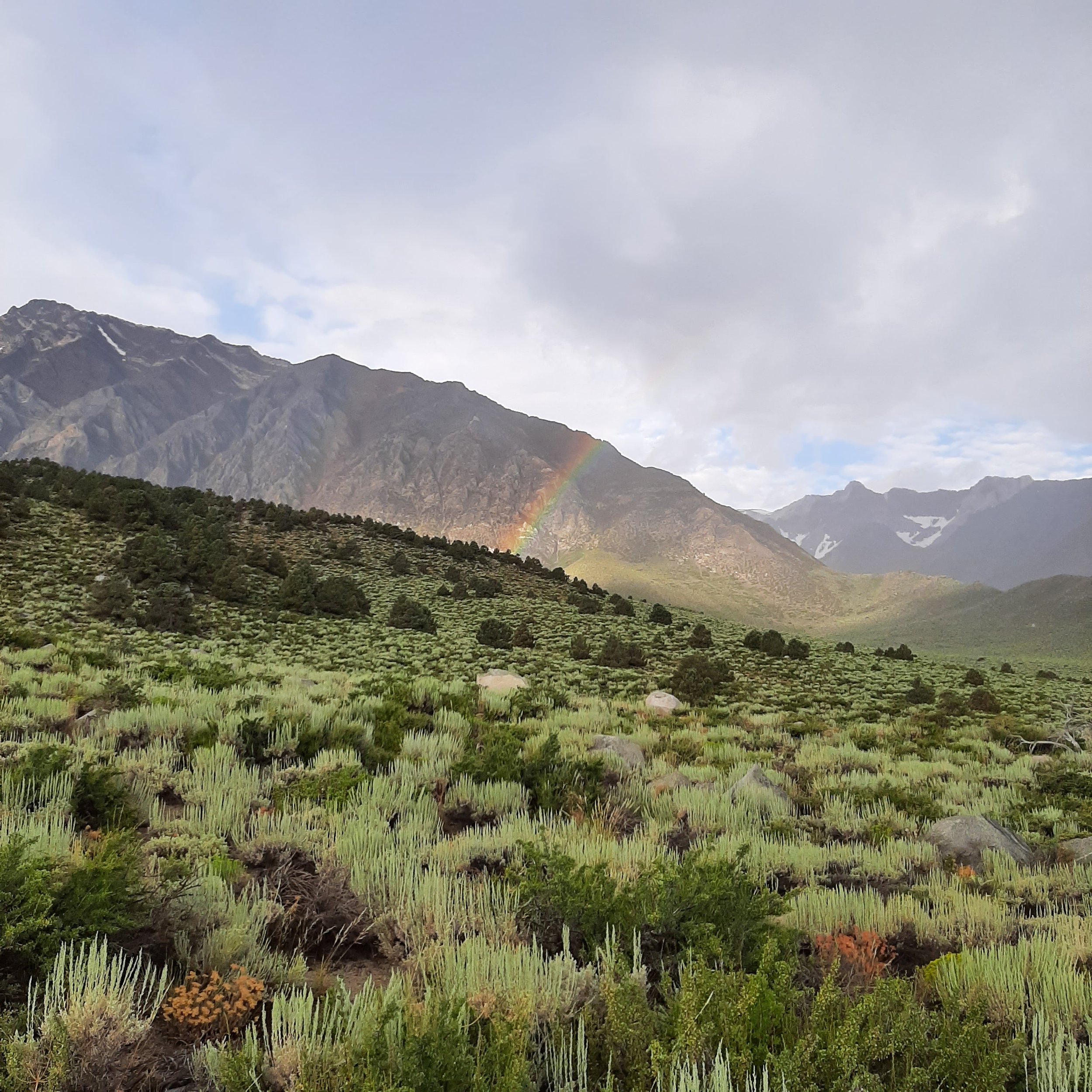
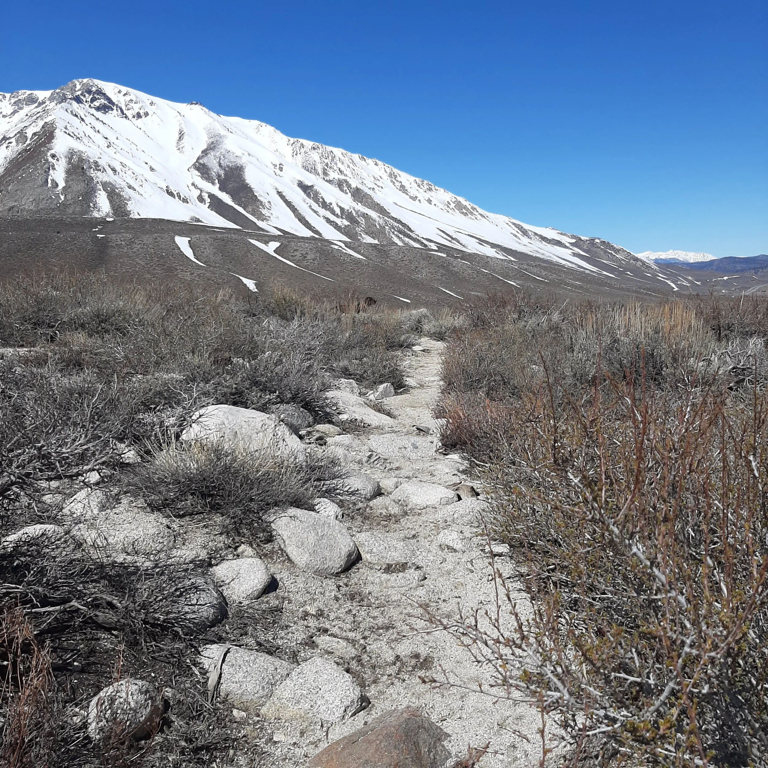
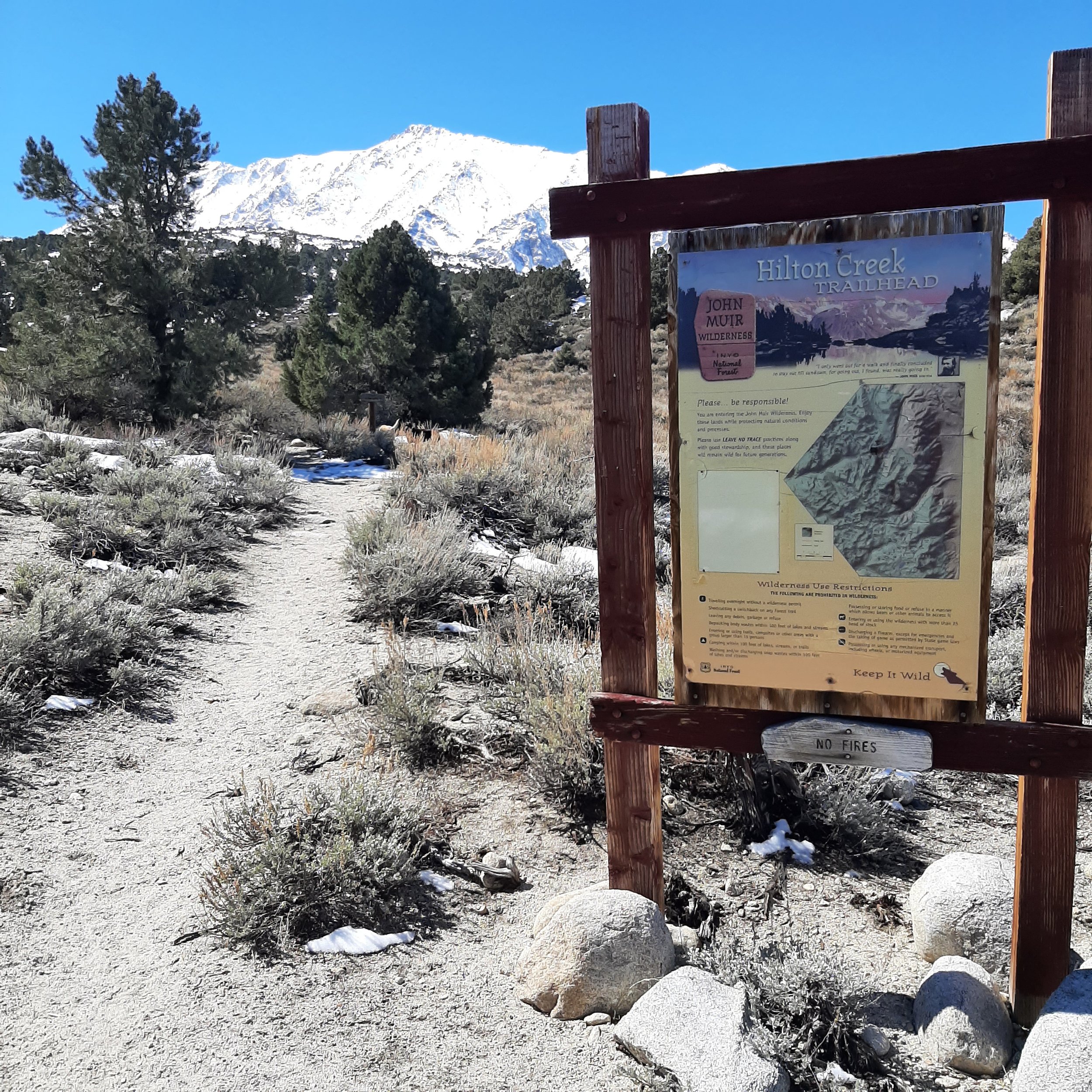
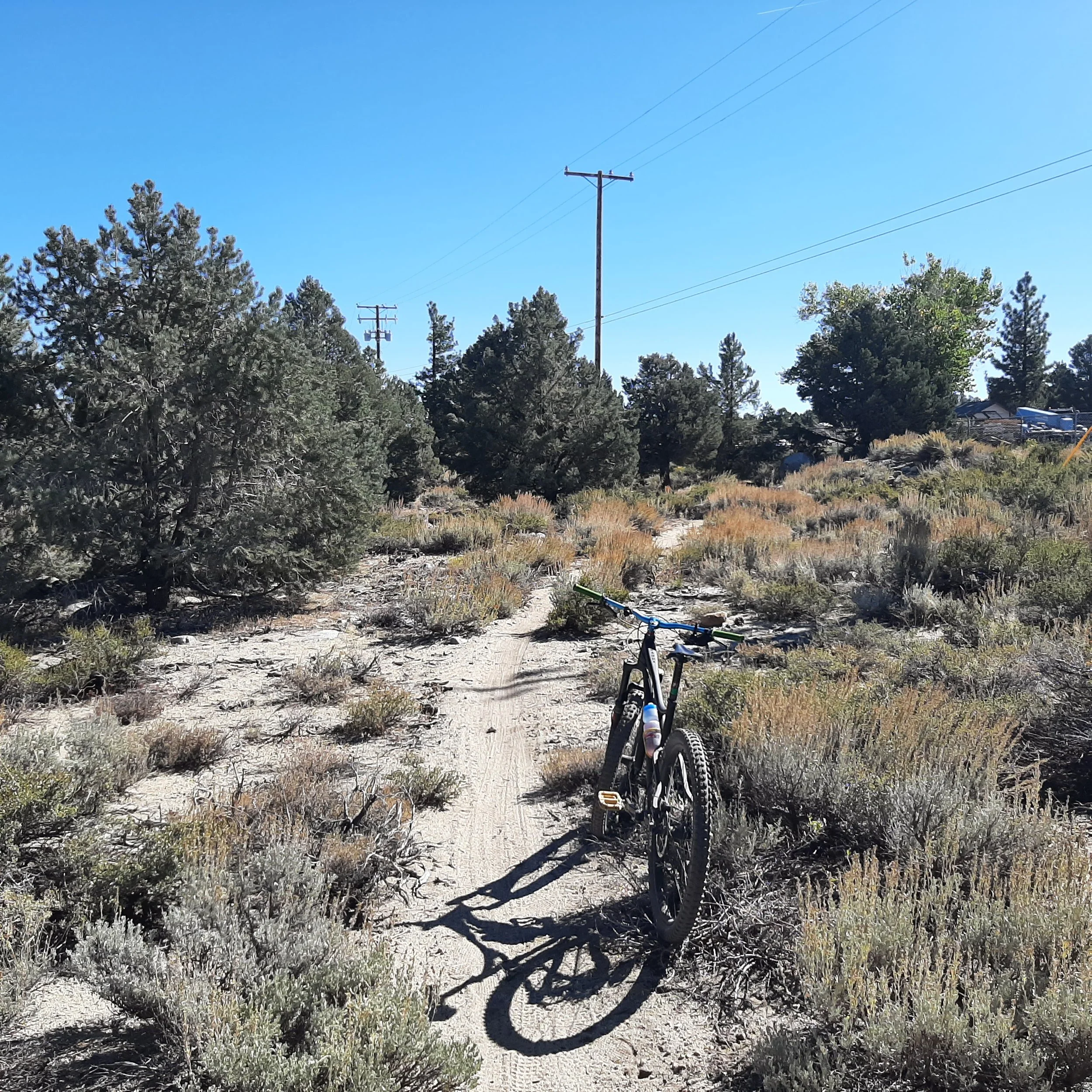
The short range goal is to legalize a couple of existing trails like 1) the trail from Tom’s Place down to Lower Rock Creek Trail pics 1 & 2 and 2) an existing 1.3 mile trail from the Hilton Creek Trailhead, west above the Crowley Lake BLM Campground. See maps 1 & 2. Pic 3. If these existing trails get approval from Inyo National Forest and Bureau of Land Management, we will plan on expanding new trails here into a stacked loop system.
MID TERM TRAIL GOALS (2-10 years)
The glacial moraines of Rock Creek, Hilton Creek, McGee Creek, and Convict Creek are great areas to build a stacked loop system close to our communities. An example would be to build 5-10 miles of new trail between the Hilton Creek Trailhead and McGee Creek (above the Crowley Lake BLM Campground).
There is parking, and restrooms at the Crowley Lake Park. The Hilton Creek Trailhead is .6 miles from the park. The BLM Campground has water, and restrooms.
LONG TERM TRAIL GOALS (10-20 years)
A long range goal would be to link Mammoth Lakes to Toms Place with a non-motorized multi-use trail following the 7,600 foot contour linking Sherwin Creek Campground to Convict Lake, McGee Creek Campground, Hilton Creek Trailhead and eventually to Toms Place (French Camp, Holiday Campground, Tuff Campground, etc.). The Convict Lake / Tobacco Flat area could also provide a connection to Doe Ridge and the Whitmore Recreation complex.
The larger 7,600 foot trail concept is not feasible in the short-term as there are many unknown factors such as environmental, costs to build and maintain, and public support or opposition. These issues will continue to evolve, but we think it is a great regional concept.
FISCAL CONSIDERATIONS
Trails within the CSA1 boundary will be paid for by CSA1 including permitting, building, and maintenance.
Questions for the folks leading the charge with the CSA1 trail updates?


About Mammoth Lakes Recreation
Formed in 2014, Mammoth Lakes Recreation’s mission is to deliver cutting edge sustainable recreation, mobility, and arts & culture opportunities and infrastructure for the benefit of the community and natural environment of Mammoth Lakes. For more information, go to www.mammothlakesrecreation.org.